Reno Maps and Orientation
(Reno, Nevada - NV, USA)
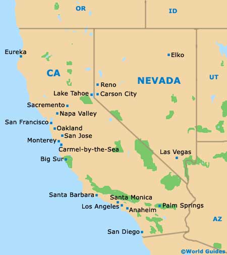
The glitzy city of Reno resides on the far western side of the desert state of Nevada, being close to
Carson City and also Lake Tahoe, just across the Californian border. Reno is the seat and heart of Washoe County and the second-most densely populated city in the state, after Las Vegas.
Located on the eastern side of the Sierra Nevada mountain range and to the west of the Great Basin area, the city belongs to the Reno Sparks Metropolitan Area, which many people know simply as the Truckee Meadows. The city's population is in the region of 220,000 people, while the overall population of the metro area is roughly double, at some 450,000.
The Interstate I-80 (Lincoln Highway) is an important local thoroughfare, leading westwards to the Rainbow Bridge Park and then southwestwards, becoming the Alan S. Hart Freeway and heading to Truckee and beyond, passing by the Boca Reservoir. To the east, the I-80 connects Reno with the neighboring city of Sparks, as well as the Fernley Wildlife Management Area (roughly an hour away).
Maps and Orientation of the City
Downtown Reno is easy to find your way around, with many local landmarks providing useful reference points. Maps clearly show how numbered streets run roughly east to west, with West 3rd Street being home to the Sands Regency Casino and Hotel, and West 2nd Street being where you will find the St. Thomas Aquinas Cathedral.
On the eastern side of downtown Reno, the Brodhead Memorial Park and the National Automobile Museum are notable highlights, both of which stand alongside the Truckee River.
- Carson City - 30 miles / 48 km (45 minutes, south)
- Cold Springs - 17 miles / 27 km (30 minutes, northwest)
- Dayton - 36 miles / 58 km (55 minutes, southeast)
- Indian Hills - 38 miles / 61 km (one hour, south)
- Johnson Lane - 45 miles / 72 km (one hour and ten minutes, south)
- Kings Beach - 41 miles / 66 km (one hour and five minutes, southwest)
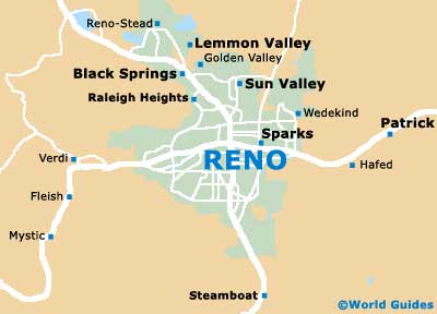
- Lemmon Valley - 9 miles / 14 km (20 minutes, north)
- Loyalton - 39 miles / 63 km (one hour, northwest)
- South Lake Tahoe - 61 miles / 98 km (one hour and 30 minutes, southwest)
- Spanish Springs - 12 miles / 19 km (25 minutes, northeast)
- Sparks - 4 miles / 6 km (ten minutes, east)
- Sun Valley - 7 miles / 11 km (12 minutes, northeast)
- Tahoe Vista - 42 miles / 68 km (one hour and five minutes, southwest)
- Truckee - 32 miles / 51 km (50 minutes, southwest)
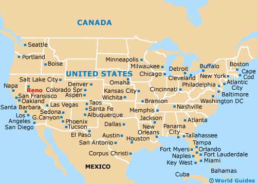
Map of the United States
Map of Nevada
Map of Reno